Emeg are pleased to announce the launch of our latest service offering – e-scan™.
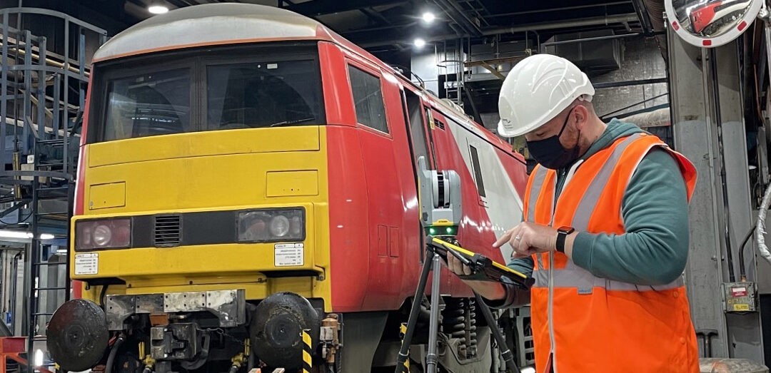
Our laser scanning equipment generates a point cloud model from data captured at a real-world location. This model can be used for surveys or to create records of sites that have no plans or plans which are inaccurate.
Emeg’s e-scan™ is far more accurate, quicker and more detailed than a surveyor attending the site and creating drawings based on markups and measurements.
Key benefits of e-scan™
- Avoid early-stage mistakes in the project lifecycle
- Easily compare actual progress to the project plan
- Obtain fast and accurate readings at each stage
- A single site visit will capture all the necessary data
- Share information quickly and easily with all relevant project stakeholders
- Collaborate and communicate more effectively across various project teams
Emeg’s Design Services team can incorporate the point cloud model into the BIM process and develop 3D models reflecting exactly what is on site. We can also use the model to generate video walkthroughs, 2D plans, layouts, sections and elevations.
To find out more about e-scan™ and how it can be used to boost productivity and accuracy on your next rail project, get in touch with one of our team members to arrange a demo!